I started my adventure run in North Cheyenne Cañon somewhat late (for a long run), just before 8 am. It was really nice to see Lori right at the beginning of my run! It's been a little while since I've seen her. It's always nice to see friends out running.

My route at the start was pretty standard, going up Seven Bridges (622) then turning left at the junction up to Pipeline (668). The wildflowers are still blooming! For such a wet spring and summer season we've had, my favorite valley along 668 was very lush and green.


Like Sharon said on our run up Elk Park last weekend, some parts of the trail were so lush that it almost felt like a rainforest! This was especially true on the very wet section of trail leading up to Nelson's Camp, which is this metal sign where the turn off for Almagre is:

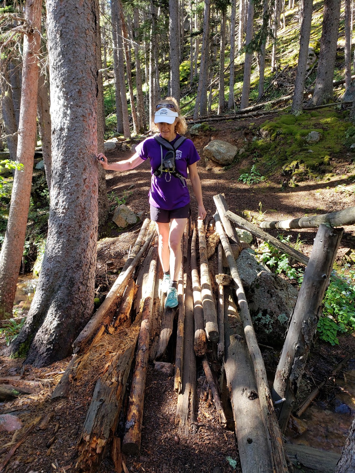
I've mentioned this in previous posts, but at this sign, cross the creek and immediately afterwards, turn west (to the right, uphill). There's actually a small pile of logs to step over, and the trail picks up right away, so you know you're on the right path.
This trail will be super solid all the way up the north side of the main Cheyenne Creek drainage up to Almagre Reservoir (called "Mt Baldy Reservoir" on Google maps). I'm always tempted to cross the drainage and climb up the south side of the creek, but truthfully if you resist this urge, you'll be on the better trail.
The waterfalls along this part of the creek were quite impressive! And I found a huge mushroom the size of my hand!


Sometimes this part of the trail climbs very steeply. Personally, it's my favorite kind of trail - it gets you up to higher altitude very fast! Before I knew it, I was at the dam of the Reservoir, and treeline.


Immediately upon arrival to the alpine tundra, I was greeted by a friendly furry face. A marmot peeked out at me through a hole in the dam wall!

From the north side of the dam, I ran along the solid, smooth trail that was probably a road once upon a time, toward the north summit of Almagre. I just love the rock formations in the valley up here!! I wanted to climb them all. I did end up scrambling up one small formation just for fun. There were great views to the south of the radio tower summit (south summit of Almagre).


As you can see from the photos, clouds were beginning to build to the south. I was a bit concerned about the weather as I headed north and uphill, not sure if I'd have to abandon my hope for a Pikes summit. It was right about then that I encountered another runner, who'd passed me early on the Seven Bridges trail, coming off the summit of Almagre North.
We chatted briefly, his name is Brett and he is also running the Pikes Peak Ascent this year! Which technically makes him my competition! Well, I hope I have the right idea with the long mountain adventures that have constituted the majority of my training this year.
Brett informed me that the weather seemed like it would hold out, especially on the Pikes side. So I keep pushing on. The views of Colorado Springs, to the east from the saddle below the north summit, were great.

When I crossed over the saddle and saw the South Slope Recreation area down below, I admit I got a little bit nervous. I had a long way to scramble down to meet with the valley below before I could begin climbing again on the vast south slope of Pikes. The open view of the expansive valley between Almagre and Pikes was as intimidating as it was inspiring! I was about to face it head on.


I jogged downhill across the broad open alpine tundra towards the treeline. Once in the trees, I had a long trek ahead of me, and the most difficult part of my day.
I found a dry water gully and scrambled down until I met the road. At the road, I should have followed it and run along it until the trailhead for the Boehmer trail. I repeat, I really should have followed the road! But, I didn't. My overview of the lakes from Almagre showed no vehicles, so I probably would have been ok to take the road.
Instead, I decided to cross the road and scramble all the way from there to where the valley meets the designated trail that ascends to the Boehmer Reservoir.
This was intense scrambling, and at times I questioned my decisions. Not just my decision to take this particular route on this particular day, but my decision to be a mountain runner in general.
Interestingly, at *several points* during my scrambling, I encountered trees with orange ties on them. I tried to follow the orange markers as well as I could, but I lost the route several times before finding the orange tied trees again. I surmised with a hopeful heart that they're planning to develop the exact route I was taking today into an established trail, perhaps leading all the way from the Lake Moraine trail to the south slopes of Pikes Peak.
Regardless of what they were, the orange tied trees were leading me in the correct direction.


At one point when I lost the orange ties, I had to cross a *very* steep scree slope that I had to dig my hands into for fear of sliding straight down into the deep valley below.
But, I never lost my innate sense of direction, and eventually I made the connection to the designated Boehmer trail. The trail was a wide overgrown four wheel drive road.
After a surprisingly short amount of time on the Boehmer trail, the thick alpine forest almost instantaneously parted and dumped me out at treeline. It's hard to describe in words how elated I felt! One second, I was amongst tall trees on a pine needle laden trail, and the next second I was in alpine tundra! There was no gradual transition zone on this side of the Peak, it was just thick forest all the way up until treeline.


From here, I was super relieved that the rest of the route was straightforward. The Boehmer trail went all the way up the south slope until about mile 7 or 8 of the Cog tracks, where I figured it would be easy to do a couple miles up the tracks to the summit.
The views were better and better as I kept climbing.


The whole south slope was so GREEN! It was lush and thick. It was like someone had taken big boulders of granite and rolled them like marbles down a light green carpet.
I kept climbing, and soon the views of Boehmer Reservoir appeared down below, as well as a fantastic panorama back towards Almagre from where I'd come.


As it turns out, there was an unexpected trail that picked up from the corner of where the Boehmer trail turns. And this trail was so well marked with little cairns, that I ended up taking the tracks for less than half a mile, only at the very top. I was impressed and pleased that I could stay on the smooth south slope almost all the way to the summit.
The views to the west were awe-inspiring!


Finally, I reached the Cog at the point where it basically meets the road. There were already tourists I could see who had clambered onto the tracks to take some photos. I passed them, huffing and puffing as hard as they were, and they looked at me a bit like I'd just teleported to the mountaintop from another planet.
I had such a wonderful adventure, and I was completely exhausted.


My tourist ride down was in the back of a pickup! The friendly visitors from Texas were traveling across Colorado and camping, living the dream. I grinned the whole way down to Manitou, loving the wind on my face and success of having topped the two highest summits in the Pikes Peak region in one day.
Thank you for traveling with me by reading my blog post! All the way from the windswept summit of Almagre, through the scrambly forest, and up the softly carpeted south slopes of Pikes Peak - this is one for the books. My total distance was roughly about 13.5 miles, and it took me a good 8 hours.
And I must thank my husband Alex for being my chauffeur to the trailhead and taking care of our children while I go on my crazy mountain adventures. I'm thankful he's willing to help me be a committed trail runner!
For anyone looking to do the south slopes route, I'd highly recommend taking a different route which I would guess would be much faster - take the 667 trail to the south slope rec area (where the Lake Moraine trail begins), then run up the road to the Mason Reservoir, where you can pick up the Boehmer trail and get all the way to the summit of Pikes, with 0% of the scrambling. Of course, you won't summit Almagre this way, but you'll save yourself about 2000 feet of descending and re-ascending. In fact, if anyone wants to attempt this route with me, let me know, and we will work out a day to do it!!
Thanks again for reading, please leave your comments below, bye for now!